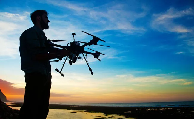
How to monitor the effects of El Niño? The Nature Conservancy wants to take advantage of the massive image production that can be collected using smartphones and drones. From this month they are asking tech enthusiasts to capture the flooding and coastal erosion caused by El Niño. The idea is that crowd-sourced, geotagged images of storm surges and flooded beaches will give scientists a brief window into what the future holds as sea levels rise for global warming.
Drones can produce HD images to create high-res 3D maps that could be particularly useful and will help scientists to determine if their previous models about coastal flooding are accurate, said Matt Merrifield, the organization’s chief technology officer. “We use these projected models and they don’t quite look right, but we’re lacking any empirical evidence” he said. “This is essentially a way of ‘ground truthing’ those models”. The storms caused by El Niño are offering a sneak peak of the situation we could have in the future, according to experts on climate change, and this way could be useful to raise people's awareness on the delicate subject. However due to the crowd-gathering informations some images could be missing, and some maps could result incomplete, although any additional information is always useful. “It’s not the answer, but it’s a part of the answer” said Lesley Ewing, senior coastal engineer at the California Coastal Commission. “It’s a piece of the puzzle”.
In California only the consequences of these storms and temperatures raising could be a high number of inundation if sea level rises another 1,4 M. William Patzert, a climatologist for NASA’s Jet Propulsion Laboratory, said: “When you get big winter storm surge like they want to document, you tend to lose a lot of beach” he said. “In a way, it’s like doing a documentary on the future. It’ll show you what your beaches will look like in 100 years. At the moment the organizers are not giving participants specific missions, but this possibility may arise in the next few weeks". A San Francisco-area startup called DroneDeploy partnered up with The Nature Conservancy to provide a free app to drone owners. Flight patterns will be provided at everyone's fingertips while cloud-based technology will make managing so much data feasible.
Personal drones are more and more seen as privacy disturbance tools, annoying and sometimes even dangerous gadgets, but their possible application are endless, and this proves that - also thanks to tech geeks - we can try to make our world a bit better in the future. Erosion is a big issue, it is decreasing the agricultural productivity and can result in desertification of some areas. Degraded lands is a consequence of excessive erosion and it is estimated to be one of the most significant environmental problems of our days.
Source: Ubergizmo. Image: Shutterstock


Comments (0)
Share your thoughts and join the technology debate!
No comments yet
Be the first to share your thoughts!