So you think climate change is new? So you think the flooding of landmass by the oceans is a new? So you must have not heard of the times when people walked from London to Amsterdam.
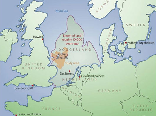
Doggerland is the name of a vast plain that joined Britain to Europe for nearly 12,000 years, until sea levels began rising dramatically after the last Ice Age.Taking its name from a prominent shipping hazard—Dogger Bank—this immense landbridge vanished beneath the North Sea around 6000 B.C.

Like all landbridges, Doggerland seems to have been a pretty busy thoroughfare for ancient hunters and gatherers.But archaeologists hardly gave it a thought until 2002, when a small group of British researchers laid hands on seismic survey data collected by the petroleum industry in the North Sea.
It is thought that the sea level rose no faster than about one or two meters per century, and that the land would have disappeared in a series of punctuated inundations. According to marine archaeologist Nic Flemming, a research fellow at the National Oceanography Centre of University of Southampton, UK. “It was perfectly noticeable in a generation, but nobody had to run for the hills.”
Although hunter-gatherers usually didn't have much sense of ownership, land would have become an increasingly precious resource as the sea rose, which according researchers Clive Waddington & Nicky Miller might have led directly to the development of sedentism and territoriality.
According to Vince Gaffney, a landscape archaeologist at the University of Birmingham, UK, who along with his colleagues Simon Fitch and the late Ken Thomson, Gaffney established the mapping project to outline the terrain of Doggerland, the transformation of Doggerland in only a few thousand years from a harsh tundra into a fertile paradise, and eventually into the northern European landscape that we know today, “put human adaptability to the test”
Indeed, that may sound familiar in our times of human caused climate change.
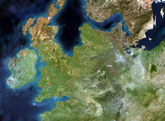
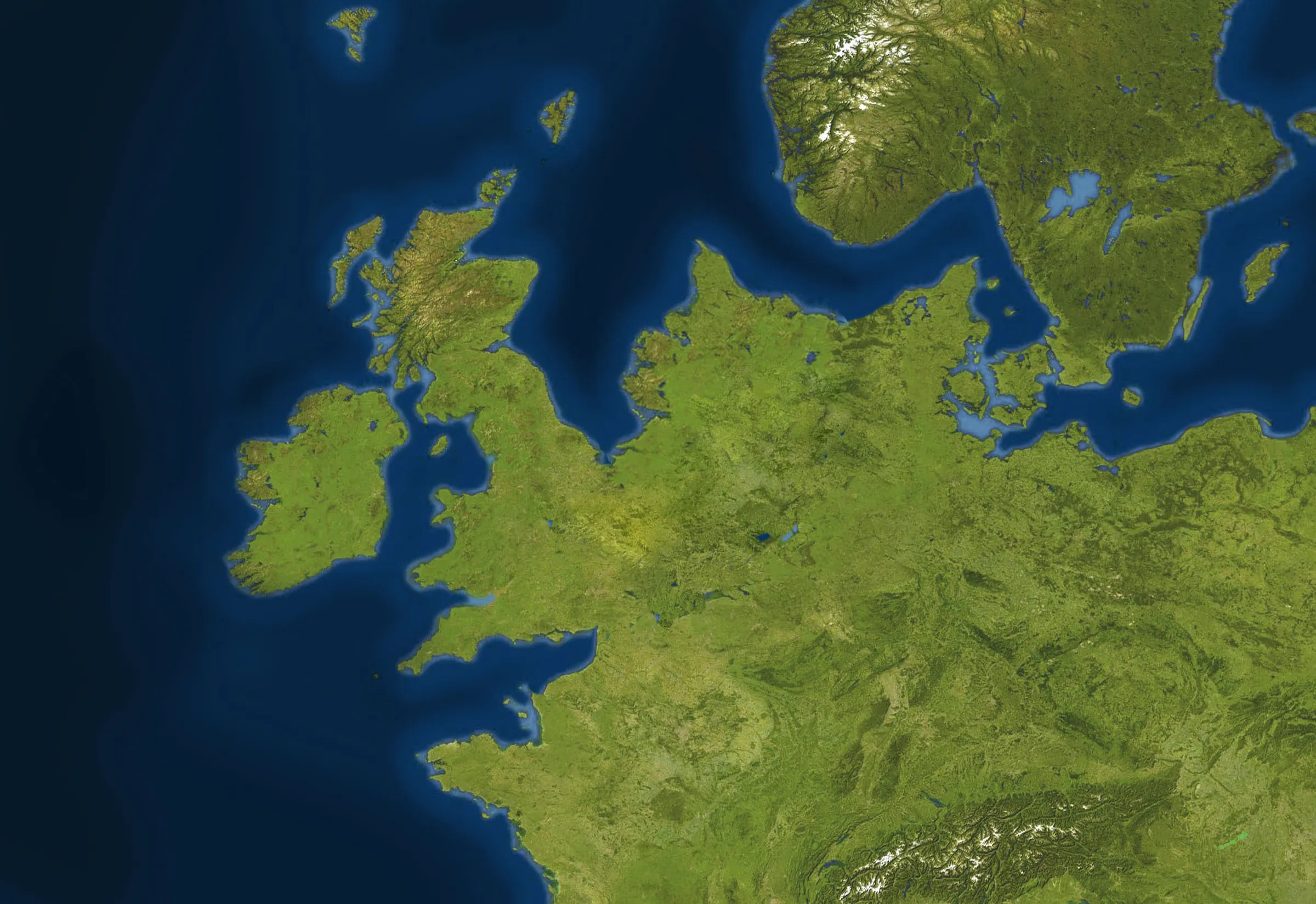
The image below shows a satellite photo of Western Europe as it was 10.000 years ago. No need to say this is a speculative re-engineered rendering, as there obviously were no satellites circling the globe at the time.

Read the Nature article on the mapping of Doggerland. Related posts: Country looking for new land, If the implications of Global Warming were fair, Diesels global warming ready campaign, Humans to blame for global warming.


Comments (0)
Share your thoughts and join the technology debate!
No comments yet
Be the first to share your thoughts!